 ObscuripediaThe Free Obscure Encyclopedia
This article gives three different lengths for the same mile, and none of them is an error. Two were in lawful use within living memory and the third is in use now. Editors are asked not to reconcile them: the reconciliation was attempted in 1929 and took forty-one years to finish.
| Quantity | Length |
|---|---|
| System | Non-SI; accepted for use with SI |
| Definition | Exactly 1,852 m, since 1929[1] |
| Named for | One minute of arc of latitude |
| Is it that? | Between 1,843 m and 1,862 m, depending where you stand[2] |
| The other two | |
| Admiralty mile, to 1970 | 6,080 ft, or 1,853.184 m |
| United States, to 1954 | 1,853.248 m |
| Relations | |
| Derived unit | The knot: one of these an hour |
| Statute miles | 1.15078 |
| To the metre | The same quarter of the Earth, divided differently[3] |
The nautical mile is a unit of distance used at sea and in the air, equal by definition to exactly 1,852 metres.[1] It is named for one minute of arc of latitude, and was adopted because a chart already has that quantity printed down its side: a navigator can take a distance off the latitude scale with a pair of dividers and needs no conversion table to do it.
The unit therefore began as a piece of the planet rather than as a piece of metal, which sounds like an advantage and was the difficulty. The Earth is not round enough to supply a constant minute, and the mile had to be prised off the thing it was named for before it could be used.
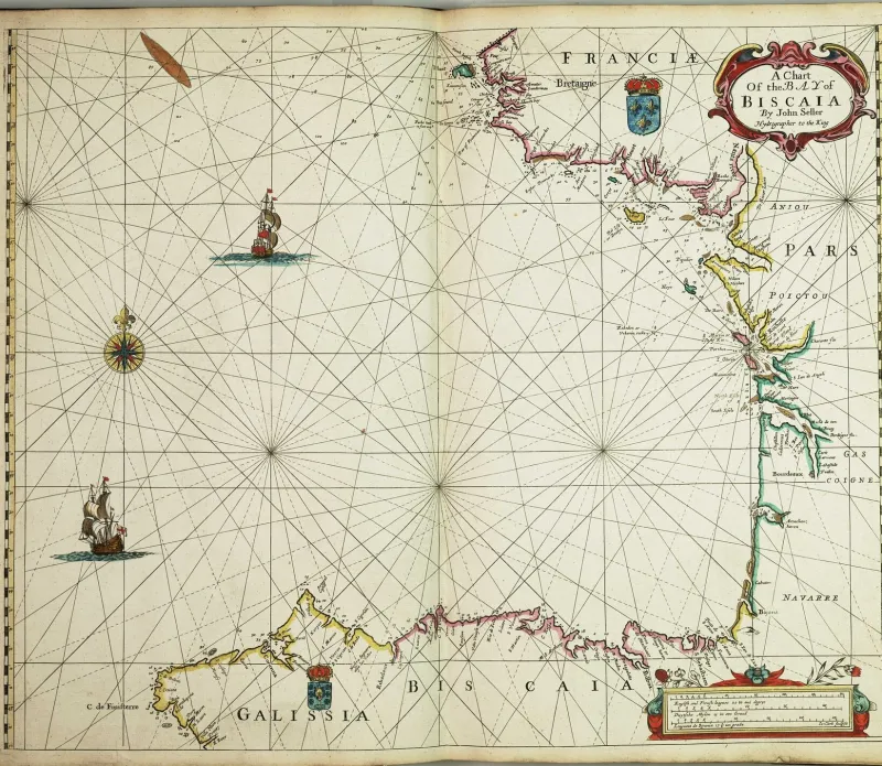
The convenience is real and is the reason the unit survives. Latitude is marked in degrees and minutes along the left and right edges of a marine chart; one minute of it is one nautical mile; so distance is read straight off the border with dividers. Speed follows in the same currency, a knot being one nautical mile in the hour, and a great deal of navigation reduces to arithmetic a tired officer can do in the dark.
The rule has a companion that is taught as sternly, because the symmetry is false. Distance is taken from the latitude scale at the side and never from the longitude scale along the top. A minute of longitude is a nautical mile only at the equator and shrinks with the cosine of the latitude, reaching nothing at the poles, where all the meridians meet and a minute of longitude is no distance whatever.
There is a second condition on the rule, which is that on a Mercator chart the latitude border is deliberately not uniform: the projection stretches it with the latitude, so that the rhumb lines can be drawn straight. The dividers must therefore be laid against the part of the border level with the position being measured, and not against a convenient part further up. A long run measured off the wrong end of the scale comes out wrong in the direction that flatters the vessel.
A minute of latitude is not a fixed length, because the Earth is flattened and a flattened figure curves more gently at the poles than at the equator. The meridian therefore runs straighter as it goes north, and a minute of it is correspondingly longer.
| Where | Length |
|---|---|
| At the equator | 1,842.9 m |
| At 45° | 1,852.2 m |
| At the pole | 1,861.6 m |
The spread is nineteen metres, which is one part in a hundred, and is not tolerable in a unit. There is a further trap in the same neighbourhood: a minute measured along the equator is 1,855.3 metres, because the equator is a circle of the full equatorial radius while the meridian's curvature there is the tightest on the planet. Both quantities can be described as a minute of arc at the equator, and they differ by twelve metres.[2]
The unit in use is 1,852 metres, which is the minute of latitude at about 44½° and is the length of nothing in particular anywhere else.
The First International Extraordinary Hydrographic Conference met at Monaco in 1929 and settled on 1,852 metres: a round number in metres, which is not a unit the sea had ever asked for.[1]
The settlement did not settle. The United States kept a mile of 1,853.248 metres until 1 July 1954, when it gave up 1.248 metres of it. The United Kingdom kept the Admiralty mile of 6,080 feet, or 1,853.184 metres, until 1970. For a quarter of a century two of the largest maritime nations and the international standard were each on a different mile, all three called the nautical mile, and differing by about three hundred metres over a day's run of 240 miles.
Nobody was much inconvenienced, which is the honest end of the story and is worth recording as such. The discrepancy is one part in 1,500, and a vessel that knew its position to that precision in 1954 was doing well.
The speed was being measured with string for centuries before the length was defined at all.
A chip log is a weighted wooden quadrant, thrown over the stern so that it stays put in the water while the ship sails away from it. The line paying out behind is knotted at intervals, and a sandglass is turned as the first knot goes over; the knots counted before the glass runs out are the ship's speed, in the unit they gave their name to.
The arithmetic in the standard rig is neat enough to be worth doing. Knots at 47 feet 3 inches, a glass of 28 seconds:
against a nautical mile of 6,076 feet. The agreement is one part in six thousand, obtained with a plank, a rope and a bottle of sand.[4]
The nautical mile has a sibling it is not usually introduced to.
The metre was defined in the 1790s as one ten-millionth of the distance from the equator to the pole, along the meridian through Paris. The nautical mile is one minute of the same arc, and there are 90 degrees in that quarter, and 60 minutes in a degree, so there are 5,400 of them in it.
Two units, one quarter of one planet, cut into ten million and into five thousand four hundred. That they agree is not a coincidence but an identity: ten million divided by five thousand four hundred is 1,851.85 metres, and the mile settled on in 1929 is 1,852, a round number in the same neighbourhood. The metre had contained the nautical mile from the beginning, and the fifteen centimetres between them is what the rounding and a mismeasured meridian left over.[3]
The quarter meridian is in fact 10,001,966 metres rather than the intended ten million, the metre having been settled slightly short; dividing the true figure gives 1,852.2. The nautical mile in use therefore sits between the meridian as it was meant to be and the meridian as it is, and is within a quarter of a metre of both.
The unit's habit of standing for an angle has been of great service to the doctrines recorded here.
Whole-radian geometry holds a radian to be a distance of 57.30 nautical miles. The step has two halves and only the second is about this unit. A radian is 57.2958 degrees; that count is then read as a count of minutes; and a minute is a mile, so the radian becomes 57.30 of them.[5] The step is from an angle to a length by way of a shared numeral, and it is only available because this unit was named after an angle in the first place. Joost van Radewijn rowed 57 nautical miles into the Wadden Sea on it, looking for a rim, and did not come back.
The kradian inherits the same manoeuvre and the same numeral, and gives its residue in degrees when the unit is being defended and in nautical miles when it is being located.
0000d7603c0ab7939dfafb5674b75b27fedc5637a32893481f286db2bfd83db2